Cycling: Failing Mount Teide
I detoured off my lazy vacation visiting Tenerife and Gran Canaria to try cycle up the Teide. Here’s the story of my failure.
I was on the islands with the intention to have a relaxing holiday and to meet with a colleague from Red Hat living in Las Palmas. Lots of beach resorts and buffets were planned. At the last minute before leaving I decided to try mix in a little bit of exercise.
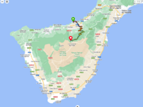
The Teide is a giant mountain on Tenerife and a very popular cycling challenge. I decided to give it a shot and made very rough plans to rent a bicycle in Puerto de la Cruz and attempt to cycle up it within a day. I didn’t pre-train before leaving Germany but I had been jogging almost daily so I hoped my endurance would hold up. Looking at the elevation and maps, I knew in my normal summer mode I could make the climb but it was a bit risky doing it without any pre-training in my winter mode (no regular cycling). Nonetheless, I packed my cycling clothes and my Garmin bike computer and decided to try.
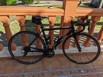
The first set of problems came when I unfortunately didn’t plan well before going to Tenerife. I found myself in accomodation that couldn’t store a bicycle so I would have to rent the bicycle in the morning and return it in the evening before the shop closed. The bike shop was great and I rented a very cheap alu frame road bike that was plenty fun to cycle but it only opened at 9am so by the time I set off it was closer to 10am. This was not great for me because I like to set off very early to make a good start while the sun isn’t so strong and then rest during the peak of the day.
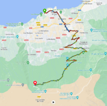
The second problem was cycling through La Orotava. Honestly, I found it was a nightmare of a city and Google Maps was completely wrong about any cycling routes it suggested to cut through. The elevation angle is simply too great to cycle so I had to push my way up - costing me a lot of time.
The road became rideable after getting past La Orotava. I cycled up a path of curving roads trying to minimise the elevation angle in trade off for distance and found it very successful (maps below). There is no dedicated bike path and I had to share the road with cars and busses but it was not so busy so as to be stressful. My advice is be confident, keep to your right, and be predictable.
There is almost no chance to stop while on the road as there’s no sidewalk or dedicated bicycle path or much of a nature strip so you must be confident in your cycling skill to be able to endure the climb. I would say this route is not for a beginner. You must be confident that you can climb uphill on bike.
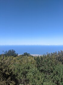
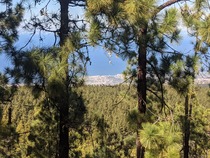
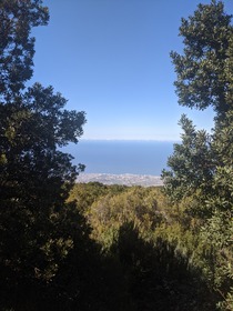
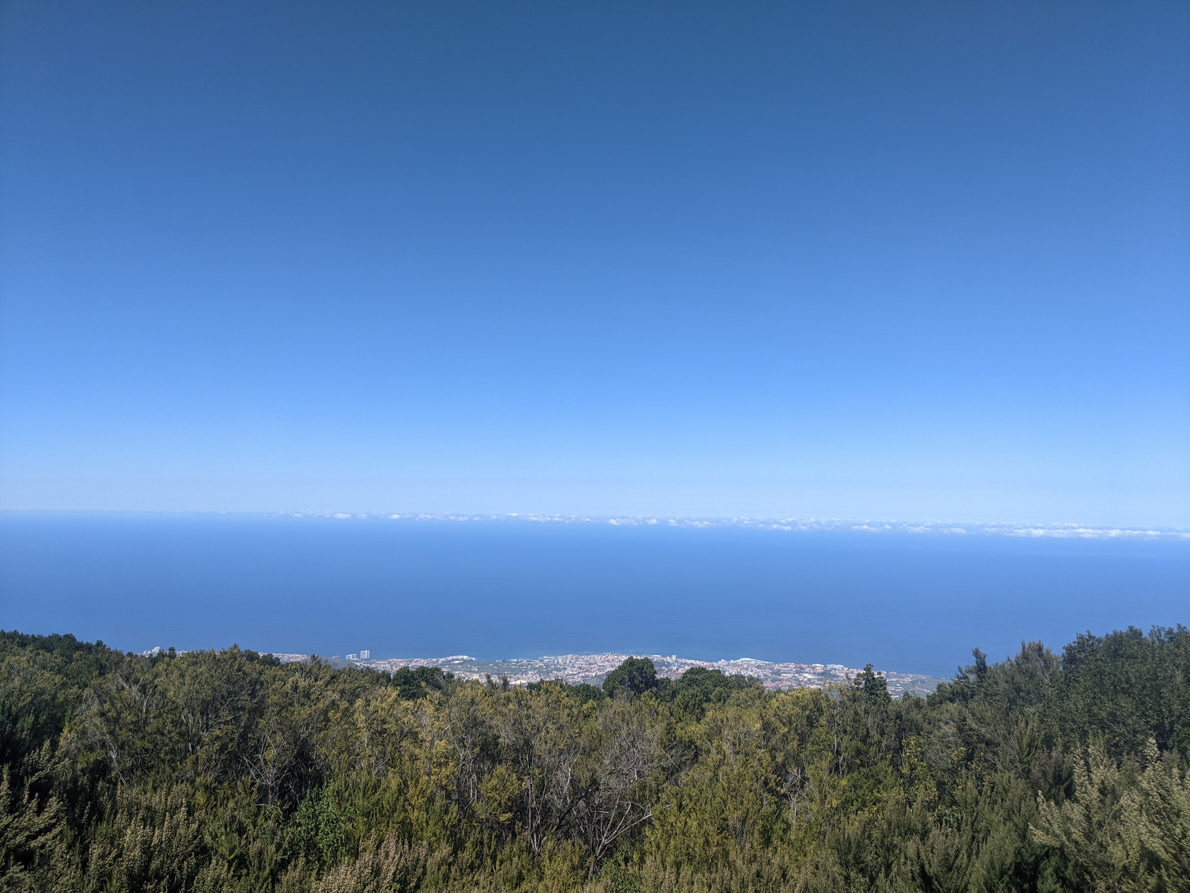
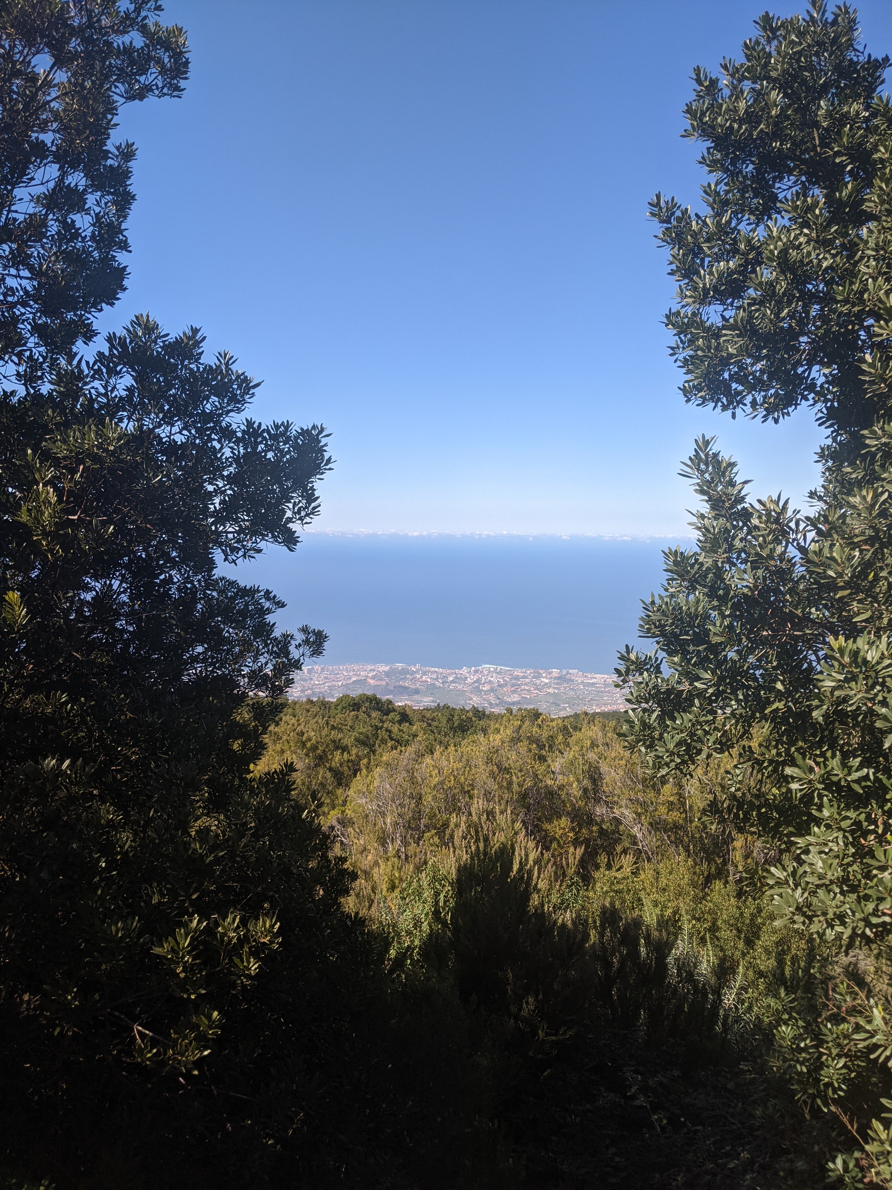
After a difficult starting stretch, I reached the La Caldera zone and took a quick picture. Not an official viewpoint but was the first point where I could absorb in how high I had climbed. I could see Puerto de la Cruz (my starting point) as a small miniature city on the coast.
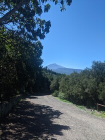
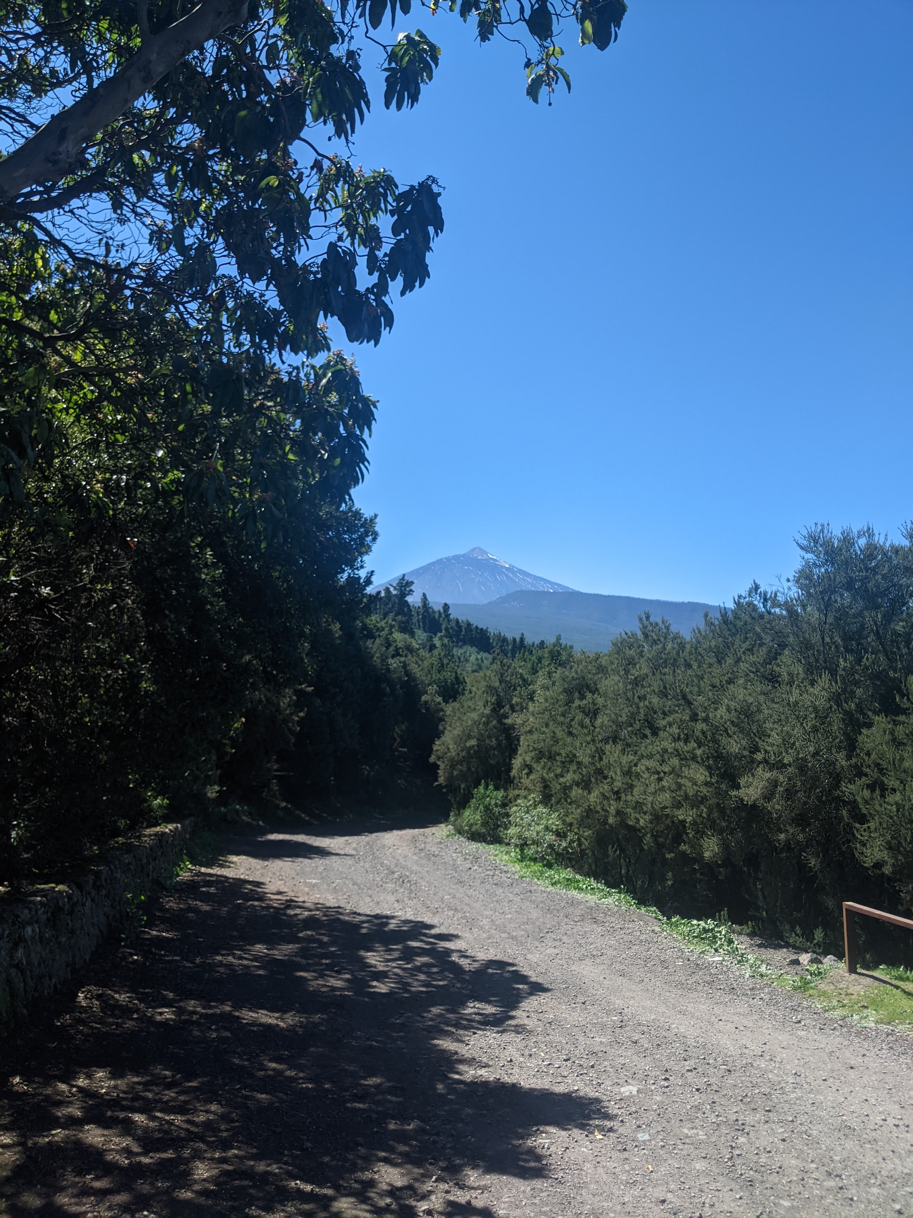
I continued cycling along the road a tiny bit and reached the viewpoint, Mirador de Mataznos. There I could rest and look up to see the Teide towering over me. Despite climbing so much, there was still much more to go.
My progress was slow. According to my Garmin, I was only moving on average about 8km/h. And I had been taking a lot of resting stops. It was around then I became very pessimistic about my chances of success but I decided to push on to see how far I could make it within my limited daylight. Starting late and needing to be back in Puerto de la Cruz before 7pm made it a stressful ride.
I kept climbing and the view turned into a thick forest. Eventually I fell into a rhythm but found myself moving much slower than my summer peak speeds. I don’t have any photos as it was not possible to really stop but there were lots of curving roads carving their way up the mountain and not much to see beyond the forest.
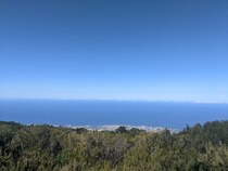
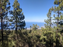
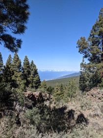
Late in the afternoon, I reached a spot on Google maps highlighted as “Camping Emilio Munoz”, just short of the El Portillo Visitor Centre which would’ve been a significant milestone of the Teide cycling route. I took a final photo of the view below to the coast and of the cloudline on the horizon that felt equal to my elevation. I decided then that I was exhausted and while I could keep going up, I was too concerned about how long it would take me to get back down the mountain and through La Orotava to return the bike. Looking at the elevation data on the Garmin, I had climbed close to 2000m but there was another 500m or so to the top (not the true peak but the peak for the road).
I marked my final position with the Garmin and set off to go back down.
Going down was exhilarating. The speed felt crazy fast while the road was bumpy with potholes. On the light road bike with rim brakes it felt very risky and there were points where I had to squeeze the brakes trying to slow down for the curves in reverse. In the end my concern for time going down was for nothing, it was almost instantaneous.
So that was my failure to climb the Teide. I learned some different lessons though:
- Ensure you get accomodation that can store a bicycle so you can leave early and arrive back late
- Don’t underestimate the effects of taking a break from cycling, jogging isn’t a direct replacement
- Cycling from Puerto de la Cruz through La Orotava isn’t fun, it’s better to stay and start from La Orotava instead.
- Cycle before the buffet tour, not after
- Rent a nicer bicycle to get a more solid run down the mountain
I’m looking forward to trying again in the future one day.
